 Beyond the map : a dialog between paper and connected devices. The example of the GIS of the archaeological site of Western Thebes (Luxor, Egypt)
The archaeological area of Western Thebes, inscribed on the World Heritage Sites list of UNESCO, has recently received a mapping project held by the Egyptian Ministry of State for Antiquities (GIS Center) in cooperation with the French Ministry of Foreign Affairs. The carrying out of this map, a GIS/Geodatabase initially designed for an internal use, has taken benefit from many tools released in the very last years, while many analogical and digital material became more accessible and usable for the archaeological community. Thus, maps, plans, satellite imagery, aerial photographs and Digital Elevation Models were used in order to synthesize the global knowledge of the site, when GPS surveys and terrestrial photogrammetric campaigns were undertaken to record and update its archaeological and topographical current condition. Although the main public outputs of this project happen to be printed materials (Archaeological Atlas and Maps), a reflection has been initiated on the modalities of exploiting and disseminating its native and genuine digital contents towards different audience.
In the first place, the internationalized and compartmentalized archaeological missions operating on the field expresses a tremendous need for putting into perspective their own archaeological results with those of others, i.e. proceeding from their own local grid towards a global system by using a common technical language. In the second place, the visitors, by having access to such a rich and vast archaeological area, may claim for a localized and detailed information while they are experiencing the site or are about to discover it. And in the last place, the authority in charge of the site management and preservation should have access to an user-friendly tool helping at monitoring with the condition of the area.
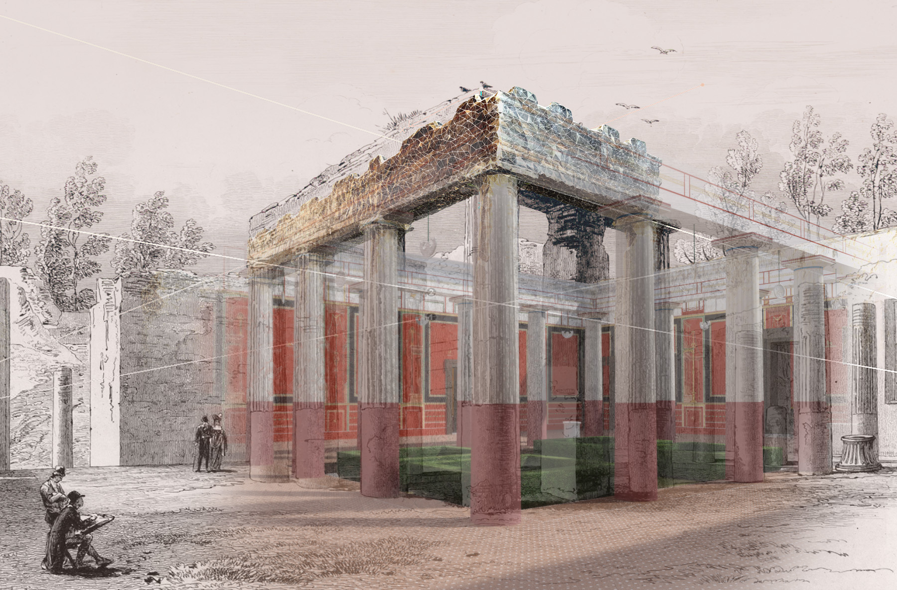
In an attempt to fulfill these needs, a webmapping platform is currently implemented and experimented, using the Open Web Services defined by the Open Geospatial Consortium. Therefore, any computer operating a GIS or CAD software might be retrieving data through the standardized Web Map Services of Web Feature Services. Moreover, any device equipped with a web browser is turned as a terminal for the display and the request of archaeological information; likewise, the recent class of GPS-enabled smartphones are eligible to display and request the same kind of data, but dynamically localized. And finally, the use of these devices with cutting-edge Augmented Reality applications opens new ways in the comprehension of the site, in situ, and also while standing in front of the traditionally published map.
