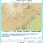
Beyond the map : a dialog between paper and connected devices. The example of the GIS of the archaeological site of Western Thebes (Luxor, Egypt) The archaeological area of Western Thebes, inscribed on the World Heritage Sites list of UNESCO, has recently received a mapping project held by the Egyptian Ministry of State for Antiquities (GIS Center) in cooperation with… Read more →